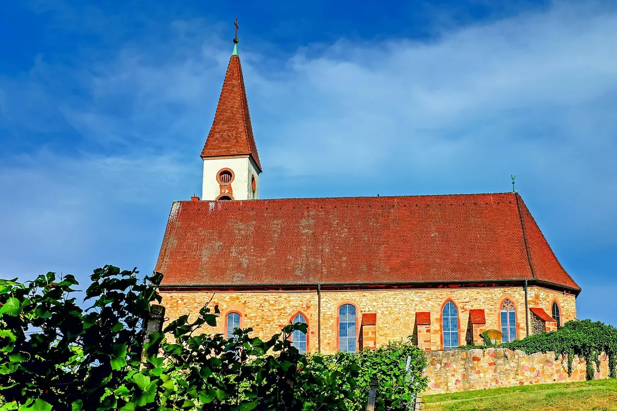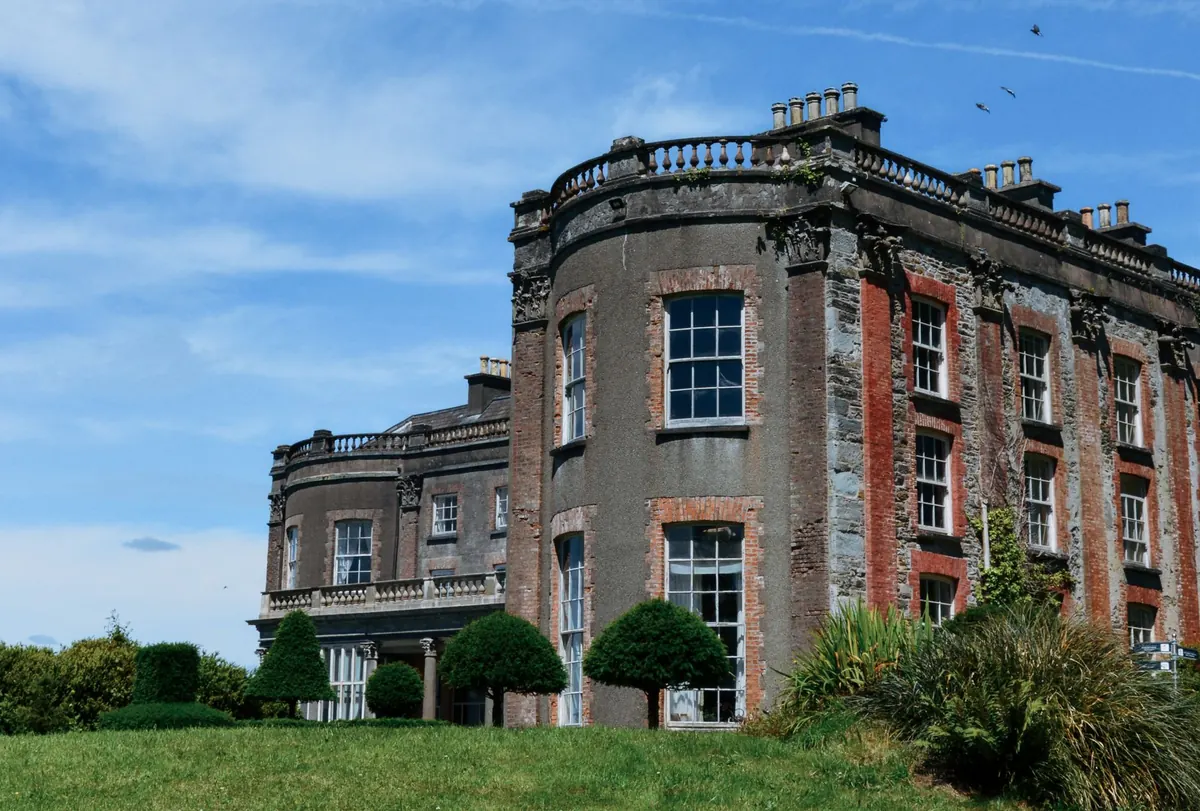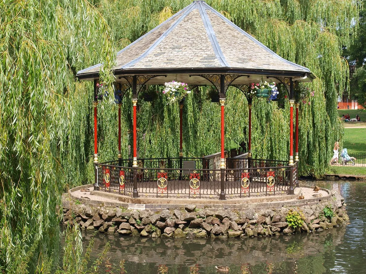
Paper maps win on battery, weather and annotation; digital mapping wins on research and finding the spot. Here's how to use both when hunting follies.
Read More
How Ordnance Survey symbols, contours, access land and public rights of way reveal where follies stand, why they were built there and whether you may visit them.
Read More